1st PUC Geography Chapter 12 Q&A – Cartography
Looking for 1st PUC Geography Chapter 12 Q&A? Here you can download the complete Chapter 12: Cartography Questions and Answers, notes, and summary. These 1st PUC Geography solutions follow the Karnataka State Board syllabus, making it easier for students to revise and score higher in exams.
1st PUC Geography Chapter 12
Cartography
Scroll Down to Download Cartography PDF
I. Answer any five of the following in a word or a sentence each.
Question 1.
Define the term Cartography.
Answer:
Cartography is the art and science of making maps, charts, globes, and models.
Question 2.
What is a Map?
Answer:
A map is a representation of the whole or a part of the Earth’s surface drawn on paper according to a scale.
Question 3.
Name any two essential features of a Map.
Scale and Direction.
Answer:
(Any two: Title, Scale, Direction, Index, Latitudes and Longitudes)
Question 4.
What is Scale?
Answer:
Scale is the ratio between the distance on the map and the actual distance on the ground.
Question 5.
Draw the Geographical symbol of River.
Answer:
The geographical symbol of a river is shown by a curved or wavy line

Question 6.
Mention any two uses of Maps.
Answer:
- Maps help to understand physical and cultural features of the Earth.
- Maps are useful for planning agriculture, industry, transport, and communication.
II. Identify the latitudes and longitudes for the given places in the map of Karnataka.
(Based on the Latitude and Longitude map of Karnataka)
- Bengaluru
Latitude: 12°58′ N
Longitude: 77°35′ E - Mangalore
Latitude: 12°54′ N
Longitude: 74°50′ E - Bellary
Latitude: 15°09′ N
Longitude: 76°55′ E - Hubli
Latitude: 15°21′ N
Longitude: 75°08′ E - Bidar
Latitude: 17°55′ N
Longitude: 77°31′ E
III. Draw diagrams to any two of the following.
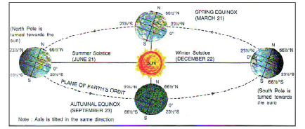
- Cycle of Seasons
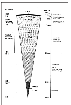
- Layers of the Earth’s interior
- Draw any two Geographical symbols
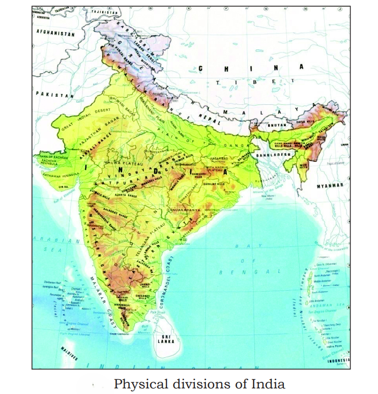
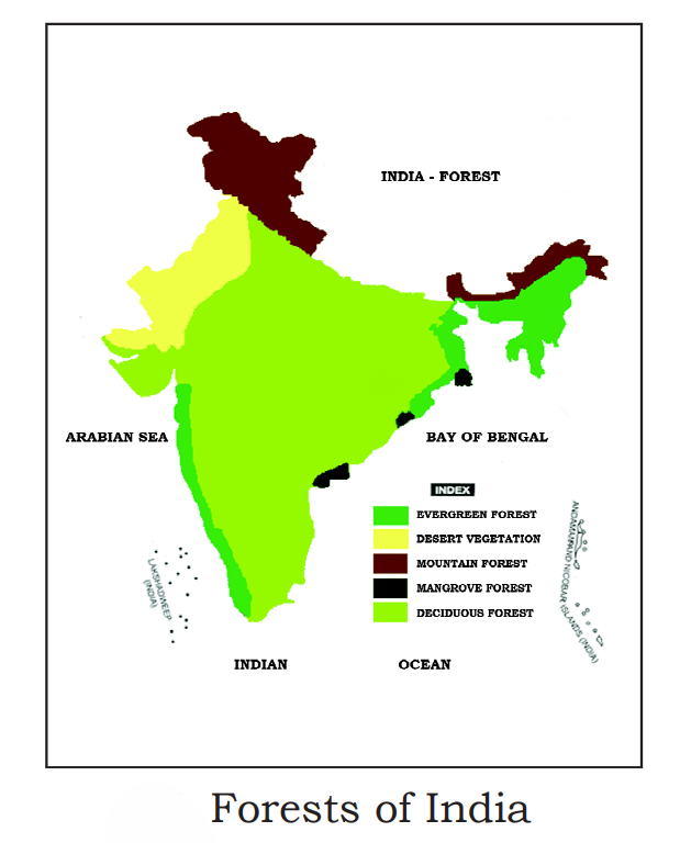
IV .Draw the outline map of India, mark and name the following
- Physical divisions of India
- Forests of India
Additional Question and Answer
1-Mark Questions & Answers
Question 1.
What is a Cartographer?
Answer:
A Cartographer is a person who makes maps.
Question 2.
What is R.F?
Answer:
R.F means Representative Fraction.
Question 3.
Name the horizontal lines on the globe.
Answer:
Latitudes.
Question 4.
Name the vertical lines on the globe.
Answer:
Longitudes.
Question 5.
What is an Atlas?
Answer:
An Atlas is a collection of maps in book form.
Question 6.
Which instrument is used to find direction?
Answer:
Compass.
2-Mark Questions & Answers
Question 1.
Mention any two functions of Cartography.
Answer:
- It helps to represent spatial information accurately.
- It helps in planning and development activities.
Question 2.
What is meant by Large Scale Map? Give one example.
Answer:
Large scale maps show a small area in great detail.
Example: Village or City maps.
Question 3.
Name any two types of maps based on purpose.
Answer:
- Topographical maps
- Economic maps
Question 4.
Mention any two essential elements of a map.
Answer:
- Scale
- Direction
Question 5.
State any two uses of Weather Maps.
Answer:
- To study temperature and rainfall.
- To analyze weather conditions.
5-Mark Questions & Answers
Question 1.
Explain the importance of Cartography.
Answer:
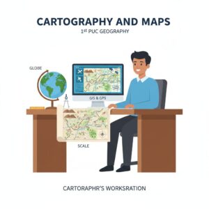
Cartography is an important branch of Geography which acts as a bridge between physical and social sciences. It helps in representing geographical facts clearly and accurately. Cartography uses scientific methods, art, and technology to prepare maps. It helps planners, geographers, teachers, and students to understand physical and cultural features of the Earth. With the introduction of computers, GIS, and GPS, modern cartography has gained great importance.
Question 2.
Explain the essential elements of a map.
Answer:
The essential elements of a map are:
- Title – Indicates the subject of the map.
- Scale – Shows the relationship between map distance and ground distance.
- Direction – Helps to identify north, south, east, and west.
- Index (Legend) – Explains symbols and signs used in the map.
- Latitudes and Longitudes – Help to locate places accurately.
Question 3.
Describe the uses of maps.
Answer:
Maps have many uses. They help geographers to present spatial information systematically. Maps show physical features like mountains, rivers, and plains. They are useful in studying invisible elements like temperature and winds. Maps help planners in agriculture, industry, transport, and communication. They are also important for defence, administration, teaching, and tourism.